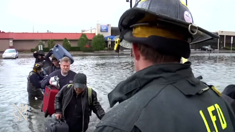
Gov. Phil Murphy declared a state of emergency on Thursday as the Jersey Shore prepares for the effects of Hurricane Erin.
Erin, which isn’t forecast to make landfall, was a Category 2 storm as of Thursday afternoon. It has been churning along the East Coast this week and is expected to remain at hurricane strength through Saturday, though it’s forecast to move out of the region by Friday evening.
Even though Hurricane Erin remains at sea, it is bringing hazardous conditions to New Jersey’s beaches, with strong winds and life-threatening rip currents. Authorities continue to urge swimmers to stay out of the ocean. The National Weather Service on Thursday issued a tropical storm warning along the Jersey Shore from Long Branch to Cape May.
Breaking waves will reach as high as 12 feet Thursday — the biggest New Jersey has seen in years. Wave heights are forecast to drop to between 6 and 9 feet high on Friday. Gale-force wind gusts up to 50 miles per hour along the coast caused a wind advisory to go into effect.
Coastal flooding is also expected to be an issue, with the biggest impact at high tide on Thursday night. Officials in Cape May and Atlantic City said they’re preparing for local roads to potentially be shut down and are urging residents to move their cars to higher ground.