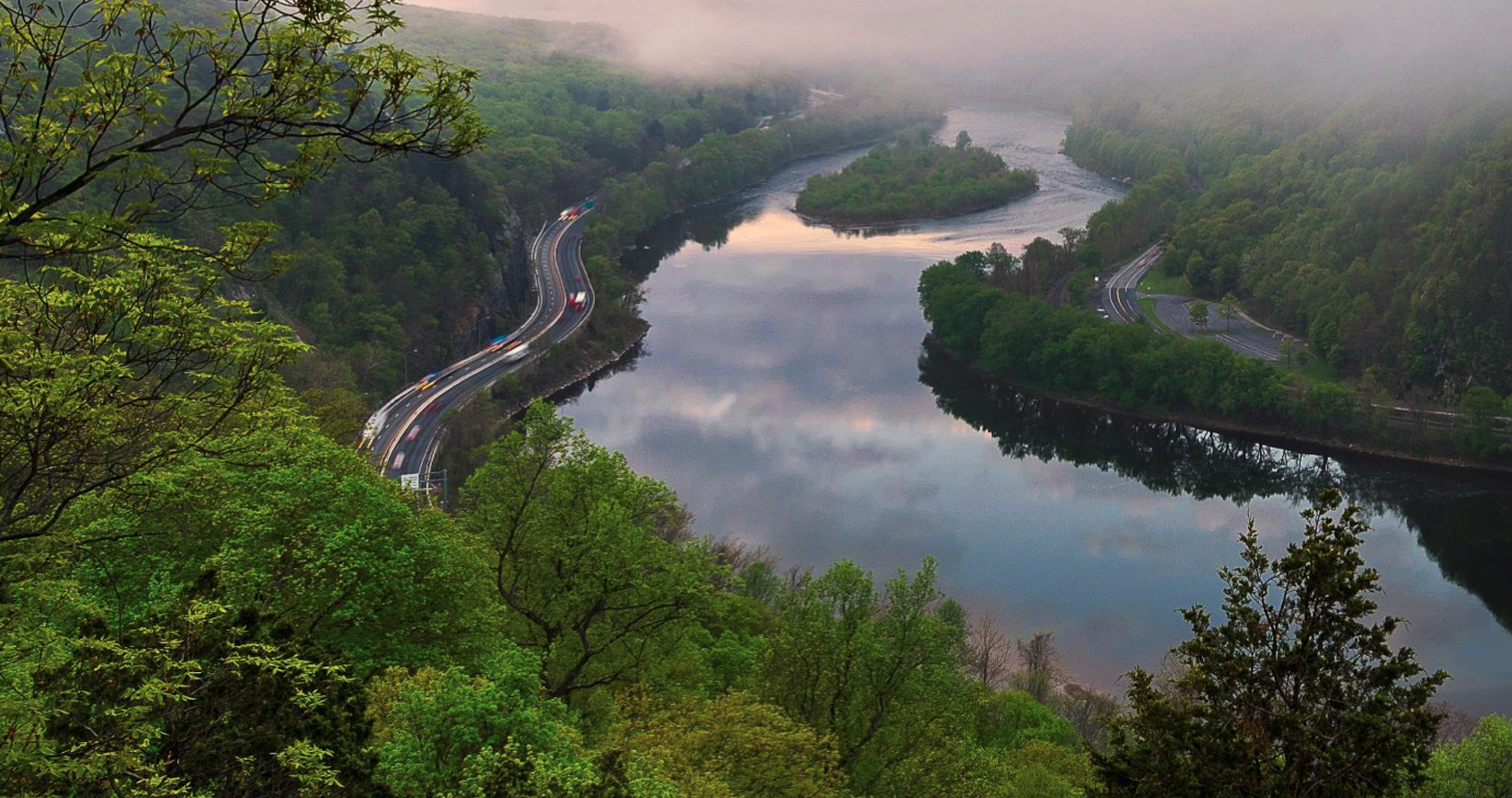
Credit: (AP Photo/Matt Rourke)
Planners from four regions in New Jersey especially vulnerable to climate change have published goals to protect from floods, sea-level rise and other hazards of the changing climate.
As survivors of Superstorm Sandy marked the 10th anniversary of the costliest storm in the state’s history, groups from the northeast region, the Atlantic County coast, the Raritan River and Bay, and Long Beach Island released wish lists of projects designed to make those areas more resilient to a harsh climate future.
The projects include storm-surge barriers to protect the area around Jersey City, Newark and Bayonne; waterfront infrastructure to protect low-lying areas in towns including Carteret, Woodbridge and Sayreville, and the installation of living shorelines and floodable areas in Shore towns including Beach Haven and Harvey Cedars.
The proposals are the result of a national competition to promote climate-resilience planning in areas hit hardest by Sandy, and are part of Resilient NJ, a state program to help towns and regions plan for climate change.
Projects for 24 communities
The Regional Resilience Action Plan was developed in each case by local officials working with state-hired consultants. The projects, covering 24 communities in the four regions, prioritize goals, set timelines, and identify potential funding sources.
Coming only a year after Tropical Storm Ida dumped record rains on many parts of New Jersey, killing 30 people, the plans are a recognition that protecting against the hazards of climate change is a top priority for communities across the state, officials said.
“For too long, the public has thought of climate impacts as a problem happening somewhere else, to someone else, and at some time in the future,” said New Jersey Chief Climate Resilience Officer Nick Angarone. “But we know that the threats are happening here and now.”
Bigger plans like building storm-surge barriers will require state or federal funding, or a long phase-in to become a reality, said Larry Hajna, a spokesman for the DEP.
In another sign of new state action on climate change, Gov. Phil Murphy and Department of Environmental Protection Commissioner Shawn LaTourette said last week they will formally propose a rule in December on inland flooding that would raise the elevation of habitable first floors in new buildings by 2 feet in flood-prone inland areas. The Inland Flood Protection Rule would be based on current precipitation forecasts rather than outdated figures that underpinned the DEP’s previous building rules.
What about funding?
While the state can provide technical assistance and some funding for resilience measures, local officials will be “at the helm” of the process, Angarone said.
Some of the projects such as building rain gardens or creating a risk-communications campaign can be achieved without significant funding, said Larry Hajna, a spokesman for the DEP. But bigger plans like building storm-surge barriers will require state or federal funding, or a long phase-in to become a reality, he said.
The plans “provide recommended policies, projects, and actions that were developed with local government and community support and intentionally aligned with their vision, while also achieving the necessary flood risk reductions to mitigate losses to life and property,” Hajna said.
Newark Mayor Ras Baraka said the city worked with others in the northeast region to present its resilience plans. “We know firsthand from the major impact of Hurricane Sandy and other weather-related incidents, that the best resiliency strategy is to have strong community connections,” he said in a statement.
‘The problem with these projects is that as they protect one area, they push the water higher in other areas.’ — Jeff Tittel, former director of the New Jersey Sierra Club
The plans for the northeast part of the state that includes Newark, Jersey City and Bayonne envisage creating a network of “resilience hubs” where residents can seek shelter and information during climate emergencies. In Newark, the hubs will include Ann Street School in the Ironbound district, which is being funded by a Federal Emergency Management Agency grant program.
Criticism of the approach
While some wish-list items such as rain gardens or new communications networks are achievable, others like storm-surge barriers are much too expensive for municipal budgets and would only worsen the aggregate effect of sea-level rise, argued Jeff Tittel, former director of the New Jersey Sierra Club.
Barriers that hold back high tides from one community just divert floodwaters to adjoining towns, he said. Rather than a town-by-town approach to defending against rising seas, there should be a statewide policy that emphasizes buyouts of properties and retreat from the most vulnerable areas, Tittel said.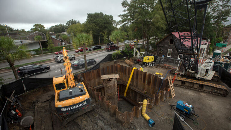
“The problem with these projects is that as they protect one area, they push the water higher in other areas,” he said. “Rather than four separate projects, there needs to be a coordinated plan for the entire state, and for adjoining areas like New York Harbor and Philadelphia.”
In September, the U.S. Army Corps of Engineers published a plan designed to defend the New York Harbor area from storm surge by building 12 retractable gates on strategic waterways at a cost of $52 billion.
The regional plans come as Rutgers University updated NJAdapt, a suite of online tools to help resilience planners. Its new features include a Climate Dashboard, which visualizes climate change trends, comparing current conditions with forecasts, and presenting the information as maps or interactive charts.
The updated tools include NJ FloodMapper, which allows users to conduct flood exposure analysis by forecasting sea-level rise, hurricane surge, FEMA flood-zone maps and other parameters. And it adds a feature called Climate Snapshots, which summarizes climate risk to factors such as infrastructure or vulnerable communities, organized by municipality, county and state.